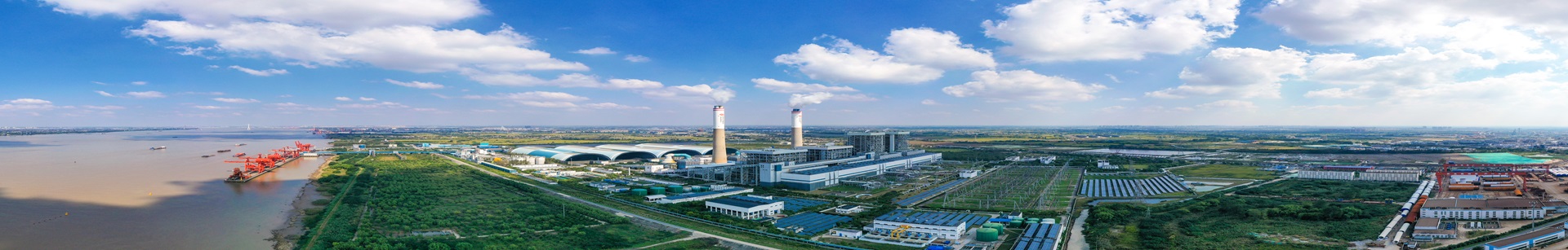
On December 3, a research project integrating ecological restoration with digital management passed acceptance at the Baorixile mining area operated by CHN Energy Baorixile Energy in northeast China’s Inner Mongolia autonomous region. The project, titled Carbon Measurement of Mining-Area Restoration Ecosystems Based on RS and GIS and Its Application in Digital Ranching, adopts an ecological restoration + digital ranch model.
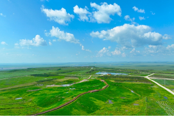
The project was implemented at the Baorixile open-pit mine. In the ecological restoration phase, it carried out vegetation recovery and soil improvement, and established a monitoring system using remote sensing (RS) and geographic information system (GIS) technologies to quantify carbon storage in restored areas. Monitoring data show that the carbon stock at the mine’s northern waste dump has reached 87,500 tons.
At the same time, the project built a roughly 100-mu (1 mu -a traditional Chinese unit of area- equals approximately 0.0667 hectares) digital ranch on the 735 platform of the mining area. The ranch monitors forage growth through drone-based remote sensing and ground sensors, while smart devices worn by livestock record forage intake. By comparing grassland conditions with livestock grazing data, the system provides a basis for dynamically adjusting the ranch’s carrying capacity.
By converting land restored through ecological rehabilitation into a digital ranch, the project creates an integrated sky–air–ground monitoring system. This approach offers a useful reference for land use and ecological management in mining areas and other resource-based regions.

